Image
Gallery showing 1 of 1 images
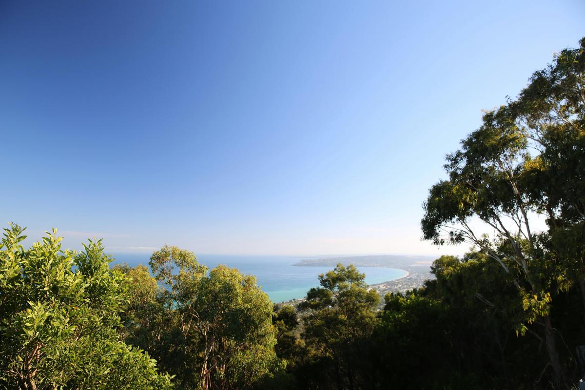
553 Point Nepean Road
Dromana Victoria 3936
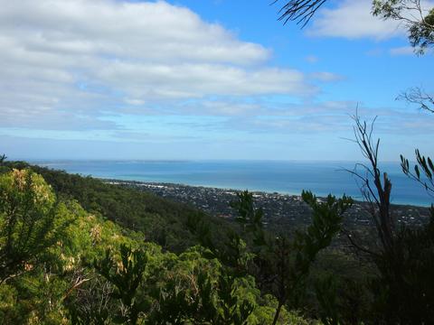
After leaving Arthurs Seat State Park at Waterfall Gully Road the track follows Goolgowie Street, through a shire reserve to Yambill Avenue. It then follows Duells Road to Gardens Road. Follow the symbols on the power poles within this section to navigate between Waterfall Gully Road and Duells Road. This 1.1 km section between Browns Road and Duells Road follows a 20 metre wide unused road reserve. Please note that private property borders both sides of the road reserve for its entire length. This section of the Two Bays Walking Track was jointly developed by Parks Victoria, the Friends of Arthurs Seat State Park and the Federation of Victorian Walking Clubsafter receiving a Parks Victoria Community Grant in 1998. This walk can be done in either direction or as part of the longer 26km Two Bays Trail. The Two Bays Walking Track is identified by a circular symbol displaying a Blue Wren, which can be seen on signage along the track.
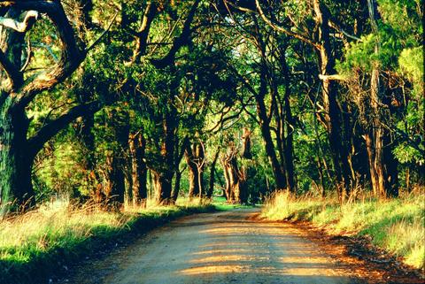
The Greens Bush section of the Mornington Peninsula National Park is the largest area of remnant vegetation on the Mornington Peninsula. It was purchased from the Green Family and incorporated into the former Point Nepean National Park in 1989. This longer walk, an excellent way to see Greens Bush, is a link in the 26 km bush corridor from Dromana to Cape Schanck. There are several highlights along the trail - eucalypt forest mixed with spectacular stands of grasstree (the taller grasstrees may be over 200 years old), pockets of tea-tree thicket alive with birds, picturesque fern gullies and open grasslands. This walk can be done in either direction or as part of the longer 26km Two Bays Walking Track. The Two Bays Walking Track is identified by a circular symbol displaying a Blue Wren, which can be seen on signage along the track.
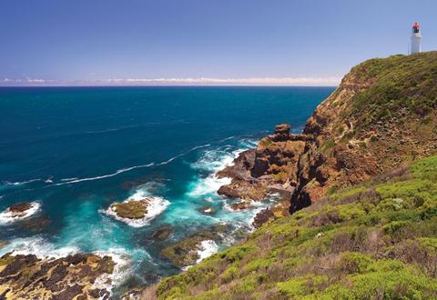
The Bushrangers bay section of the Two Bays Walking Track travels from Boneo Road to Bushrangers Bay, and then on to Cape Schanck. The beautiful Bushrangers Bay comprises of a white sandy beach surrounded contrasted by dark and brooding basalt cliffs and headlands, and wild waves that often crash onto the jagged rocks guarding the entrance to the bay. Bushrangers Bay can be accessed from the car park in Boneo Road and picnic area (2.5km). This section of the Two Bays Walking Track travels along Main Creek and provides fine views and passes through shady Banksia groves as it winds its way down to Bushrangers Bay. Swimming is not recommended at this site as the beach is unpatrolled and often hazardous due to strong rips and large waves. Once arriving at Bushrangers Bay continue on towards the Cape Schanck to see some of the best coastal scenery near Melbourne. This section of the park was purchased from abutting farms in 1977. This walk can be done in either direction or as part of the longer 26km Two Bays Walking Track. The Two Bays Walking Track is identified by a circular symbol displaying a Blue Wren, which can be seen on signage along the track.