Image
Gallery showing 1 of 1 images
54 Purves Road
Arthurs Seat Victoria 3936
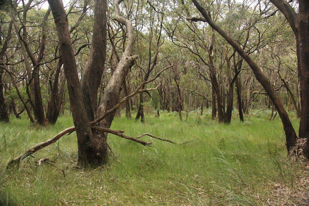
This mountain bike track loops around the perimeter of The Friends Track in a small section of the Arthurs Seat State Park. From the car park in Arthurs Seat Rd between Bellingham Rd and Main Creek Rd, follow the OT Dam Track downhill (there are two options here) and turn left at the bottom along the perimeter. Follow this track until it meets up with Arthurs Seat Road. Then ride on the bush track alongside Arthurs Seat Road back to the starting point. This is a two way track.
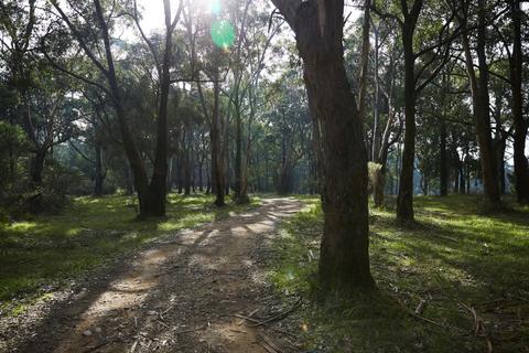
These two steep one way descending mountain bike tracks run to the western side of the two quarries on Arthurs Seat. Accessed from Arthurs Seat Road via Quarry track, they run through the natural bush of the Arthurs Seat State Park. Parking is available off the main road beside the park perimeter. Colour code for map - Green Line: Deadwoods (0.7km one way descending) Blue Line: Crits (0.6km one way descending)
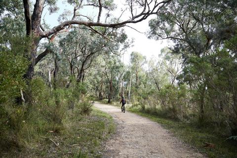
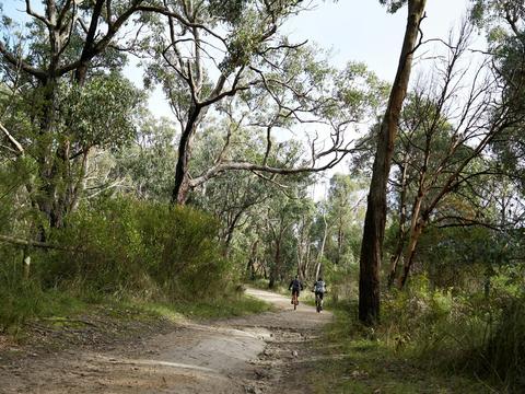
These eight mountain bike tracks run off the OT Parkdale Break track between OT Dam and Boundary Road, in the Arthurs Seat State Park. They are very steep in places as they come down the hill from Arthurs Seat beside the quarry. Access can be gained from the top (at Arthurs Seat Road), or the bottom (in Boundary Road). Key for the various tracks detailed on the map Dark Blue: Rock Salt Track (1.1km top section one) Dark Brown: Slippery Gypsy (0.3km two way Orange: Fall Line (0.7km descending) Yellow: Pins and Needles (0.8km one way descending) Dark Green: Pine Climb (0.8km one way ascending) Black: Wombat (1.7km one way descending) Red: High Roller (1.2km two ways) Purple: East Lnk (1km two ways) Tan: Link (0.4km two ways)